Aid agencies preparing for catastrophic landfall for IOTA
From west to east;
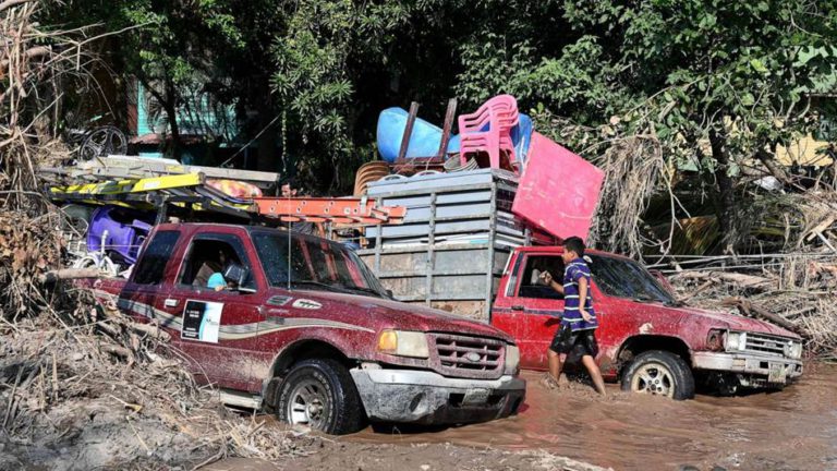
Hurricane IOTA is now 280 miles east-sou’east of the Honduras / Nicaragua Border headed west-nor’west at 6 knots. There is little comfort to be found in this storm’s rapid intensification and almost certain landfall close to that of ETA less than two weeks ago late tomorrow night. Indeed, aid agencies are preparing for a very powerful hurricane causing catastrophic damage and a significant tidal surge. Hurricane severity index rating predictions continue to rise, currently expected to reach 24 (7 for size and 17 for intensity) with wind speeds touching 145 knots – equivalent to the take-off speed of a Boeing 777. As bad as this is likely to be, the worst excesses of IOTA will be from flooding with rainfall of up to 30 inches in an area not yet cleared of floodwater from ETA. A category four landfall is likely, with a possible category five. This is going to have a devastating impact across the entire track through southern Honduras and towards El Salvador. Dissipation is forecast to occur before IOTA moves into the Pacific. There is no threat to the Gulf of Mexico.
What remains of THETA is scattered across an area loosely centred 100 miles southwest of Madeira. There is still some thunderstorm activity forming a rough circulation but is displaced from the centre and diminishing hourly. This is likely to be off radar tomorrow.
Stand by for hurricane intensity conditions across the north-west Caribbean and into central America.
Image courtesy ABC News