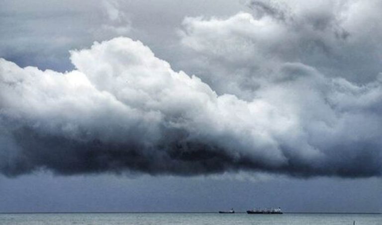
Storm clouds gathering in north-western Caribbean
There seems to be agreement between most reliable commentators on the long-awaited low pressure development in the far western Caribbean. Aside from the usual catastrophists, few expect this to develop into much more than a weak tropical storm at best. Pressure gradients are lining up for this to take shape somewhere around the Yucatan peninsula by Tuesday then nudge north across warm water over the Gulf of Mexico (bad news) where upper level wind shear awaits (good news). At worst, this will bring heavy line squalls and strong winds across the northwest Gulf offshore lease areas by the middle of the week and heavy rain at and beyond landfall which at the moment, is anywhere between the Rio Grande and the Mississippi. Anything else at this time is pure guesswork.
Stand easy.
Image Reuben Sturman