Weak tropical storm expected to make Louisiana landfall.
From west to east:
Beyond our normal reporting area in the Pacific, Tropical Storm BLANCA is closing on the north-west coast of Mexico but likely to be thwarted by upper level wind shear before it can make a nuisance of itself. The Canadian guy has this jumping the fence into the Gulf of Mexico. It won’t.
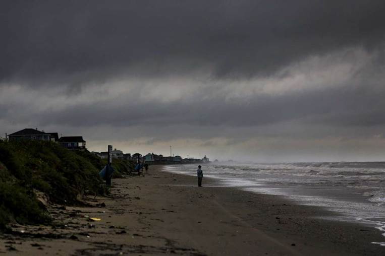
Disturbance Five is loosely centred around 250 miles south of the Texas/Louisiana border moving north at around 10 knots. This is becoming rather more organised now and is expected to become a weak tropical storm in the coming 12-18 hours. Wind shear should put a cap on significant development before making landfall. A ridge to the north-west is likely to push the cyclone further east than initially expected, making landfall nearer the mouth of the Mississippi tomorrow morning. This will be principally a rainmaker with the worst of the muck and filth to the east of the nominal centre, perhaps as far east as the Florida panhandle.
Disturbance Nine has weakened beyond recognition in the far south Caribbean and is off radar now.
Disturbance Eight is now around two day’s steaming east of the Windward Islands headed west-nor’west at a brisk 22 knots, radiating bands of weak squalls and the odd thunderstorm. Excessive windspeed and upper level shear will keep development in check as it moves into the Caribbean overnight on Sunday.
Disturbance Ten has piped up three days steaming south-sou’west of the Cape Verde Islands moving west-nor’west at 15 knots. Aerial imagery shows poor surface organisation and little in the way of convection cloud. Strong wind shear awaits and is likely to have the upper hand.
Stand by for tropical storm conditions offshore Louisiana and along the coast east of the Mississippi.
Image Mavety Media