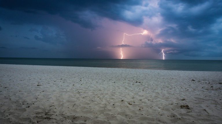
FRED approaching Florida Keys

From west to east:
FRED is currently centred 300 miles south east of Key West headed west-nor’west at 12 knots. Thunderstorms are gradually increasing east and southeast of the nominal centre and it is expected that the cyclone will regain intensity over the next 12 hours. There are a number of factors likely to limit intensification before crossing Florida Keys in the small hours of tomorrow morning as a weak tropical storm, before turning north-nor’west across the eastern Gulf of Mexico parallel to the west coast of Florida through the weekend. Landfall is now expected over Florida Panhandle at dawn on Monday. As storms go, FRED is quite a wobbler which increases uncertain forecasting but upper level shear should displace the worst excesses towards the coast but limited in intensity. There will undoubtedly be heavy rainfall but wind speeds as things stand, are likely to be weak tropical storm strength. The currently predicted peak hurricane severity index rating as this passes Tampa is just 3 (1 for size and 2 for intensity) which translates into winds gusting 45 knots over a relatively tiny windfield radius of 50 miles. I would never encourage complacency but this does not appear to be shaping up to be a hurricane or strong tropical storm.
Disturbance Twenty Seven is currently centred 450 miles east-nort’east of Puerto Rico having missed the Caribbean altogether on its west-nor’westerly track. Thunderstorms are disorganised and no development is expected.
Disturbance Twenty Nine is centred 800 miles east of the Leeward Islands moving west-nor’west at 18 knots and is expected to cross the northern Leeward Islands then close to Puerto Rico on Sunday. This is showing signs of development and may form a weak tropical storm, very much along the track taken by FRED, although track and intensity after reaching Hispaniola is anyone’s guess at the moment.
Stand by for tropical storm conditions off southern Florida.
Image Gail Palmer