GRACE lining up second category 1 hurricane landfall after crossing Bay of Campeche
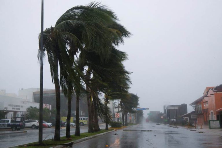
GRACE made its first landfall in the small hours close to the south of Cancun with winds gusting 95 knots and a significant storm surge. Now half way across the Yucatan peninsula, GRACE has weakened slightly with land interaction but will regain hurricane intensity in a few hours when it enters the Bay of Campeche. Once seaborne, the cyclone will track west and make a second landfall with similar intensity between Tuxpan and Veracruz tomorrow evening. The predicted hurricane severity index rating at landfall is 10 (3 for size and 10 for intensity) making a powerful, tight storm with winds in excess of 90 knots with a tropical storm windfield radius of 125 miles. Very heavy rain is expected with up to 18 inches in some places.
Tropical storm HENRI is now centred 760 miles south of Nantucket headed west at 7 knots and expected to turn to the north tomorrow. This cyclone continues to baffle observers with much debate over strengthening or weakening, but environmental conditions should favour the latter which would indicate a weaker tropical storm when this passes close to Cape Cod on Sunday. HENRI is currently producing winds gusting 70 knots with a windfield radius of 70 miles.
Disturbance Thirty Two has piped up close to the Windward Islands but is quite weak and unlikely to develop as it crosses the islands. This is likely to remain weak as it crosses the Caribbean.
Disturbance Thirty One left the African coast yesterday and is currently stationary in a band of dry air. Development is unlikely at the moment.
Stand by for tropical storm conditions across the Yucatan peninsula, becoming hurricane force in the Bay of Campeche.
Image Kristen Bjorn