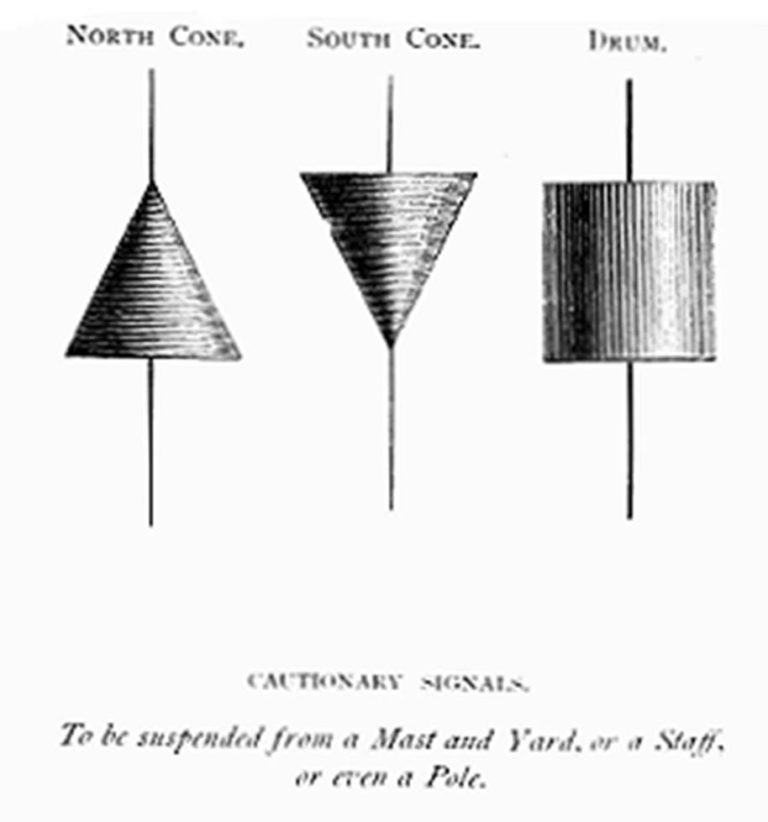
Storm cones aloft over Louisiana
From west to east:
Disturbance Thirty Four is now 100 miles south-west of Jamaica moving to the northwest at 10 knots. This has clearly started forming defined cyclone characteristics and is expected to strengthen into a tropical storm by Friday across the north-western Caribbean. The system will then transit the Yucatan channel into the southern Gulf of Mexico overnight on Friday where conditions for intensification are very positive. There seems to be no doubts that this will form a hurricane on Sunday as it crosses the Gulf. There is still much uncertainty around intensity and track, and options for landfall range anywhere from the Texas/Louisiana border to the mouth of the Mississippi, but this will certainly develop into a powerful storm.
Disturbance Thirty One is now 500 miles east of Bermuda moving to the northwest at 10 knots. This may develop into a tropical storm but will be well clear of land.
Disturbance Thirty Five is now 1200 miles west-sou’west of the Cape Verde Islands moving west-nor’west at 15 knots and expected to continue on this track before turning to the north on Friday. This has a slim chance of development but will in any event be a fish storm.
Weather watch on the Gulf of Mexico in the days ahead and at sea to the east of Bermuda, otherwise stand easy.
Image Third World Media