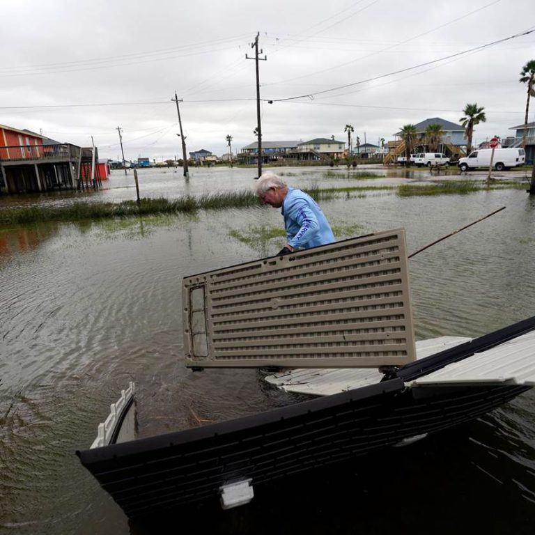
Remnants of NICHOLAS causing flooding along coastal Louisiana and Mississippi

From west to east:
NICHOLAS has weakened to a tropical depression as it crosses Lake Charles, headed east at a leisurely 5 knots. This is no longer a significant wind threat although rainfall in industrial quantities still poses a flood threat over southwest and central Louisiana and eastwards into southwestern Mississippi tonight with up to ten inches expected in places. Bands of heavy rain continue to fan out over south-eastern Louisiana, particularly the Baton Rouge and New Orleans area.
Disturbance Forty One is now loosely centred close to the north of the Bahamas moving north-west at 8 knots and is on track to turn to the northeast before reaching the Outer Banks of North Carolina tomorrow night. Thereafter environmental conditions will become more favourable to develop into a tropical storm overnight on Thursday and head safely seaward as a fish storm.
Disturbance Forty Six is now a day west of the Cape Verde Islands moving west at 12 knots. This has a twinkle in its eye as aerial imagery shows this gearing up to develop. The expected track is a touch north of west which may hopefully indicate an early curve away from the Caribbean, but is still speculative.
Disturbance Forty Seven is mustering forces over central Guinea and expected to join the trans-Atlantic production line in a couple of days’ time.
Stand by for heavy rain and localised flooding across coastal Louisiana and Mississippi, otherwise stand easy.
Image Feras Antoon