First named storm of 2022 season set to cross southern Florida
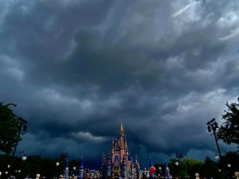
Disturbance One is in the southern Gulf of Mexico to the north of western Cuba, headed north-east at 12 knots. A reconnaissance aircraft has reported high-altitude tropical storm force winds east of the developing centre. If a complete convection column forms – which it seems almost inevitable – this will become a tropical storm as it closes in on the coast of Florida. Strong upper level shear will save the day and keep development in check but will offset the muck and filth to the east which will bring the first squalls to Florida in a few hours from now. The centre of the storm will move into southwest Florida early tomorrow, traversing the peninsula blissfully quickly as a tropical storm – kitten weak but with a large footprint radius of 200 miles. The heaviest of the squalls should be into the Atlantic tomorrow night, pushed ahead by strong wind shear. Onwards from Florida, the system is expected to bring tropical storm force winds and heavy rain to the northern Bahamas fairly soon after passing over Florida before transitioning into an extratropical system to the northeast of Bermuda on Tuesday.
Disturbance Two is now over 650 miles east-nor’east of the Bahamas with scattered thunderstorms and heavy rain but little discomfort for anyone at sea. This is heading for a forgettable disappearance into an eastbound cold front tomorrow night without further development.
Stand by for tropical storm conditions across southern Florida.
Image José Bénazéraf